GISday
every November
Come and see us too! We speak english.
If you are interested in an individual tour of the department, do not hesitate to contact us: jakub.konicek@upol.cz.
What is GISday? GIS Day is a major event where users of geographic information systems technology open their doors to schools, colleagues and the general public to showcase specific applications created by this important technology.
Every year, GIS Day is organized by thousands of companies and schools around the world, informing millions of children and adults about the benefits of geography. The goal of GIS Day is primarily to popularize worldwide the technology of geographic information systems, which affects our everyday life, enables a better understanding of everything that surrounds us and, above all, integrates information.
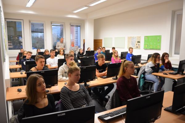
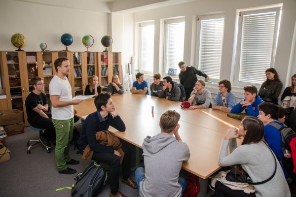
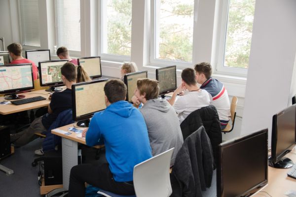
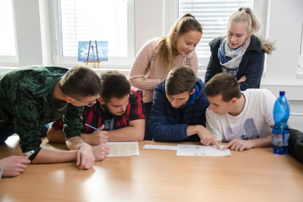
As part of the GISday event, the Department of Geoinformatics already organizes traditional blocks of lectures and demonstrations on the topic of Geoinformatics with practical exercises for interested students from secondary schools.
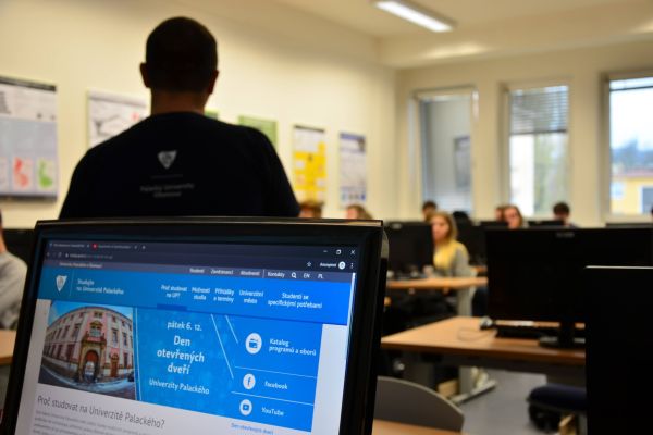
- Block of short lectures (what is GIS, trends, study at UP) – approx. 30 min
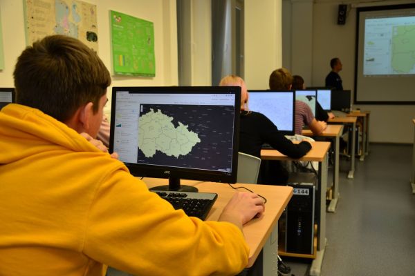
- Practical exercise on a PC in the ArcGIS Online environment – approx. 20 min
- Questions, discussion – approx. 10 min
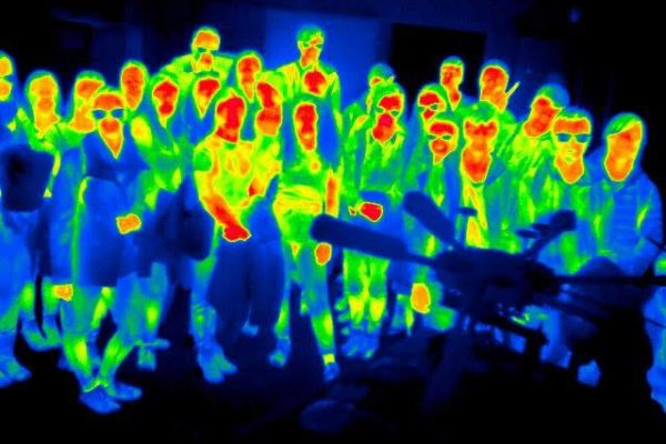
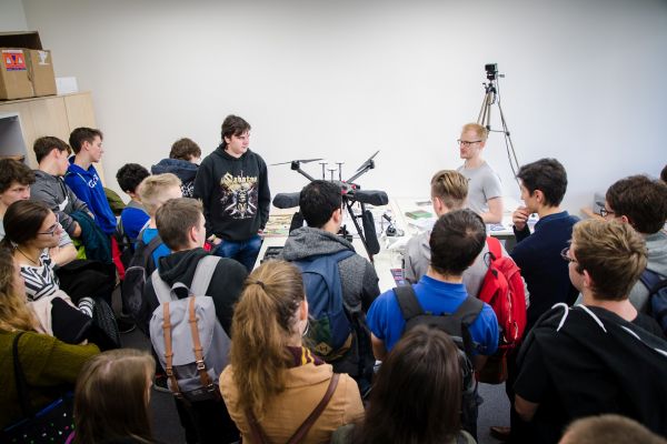
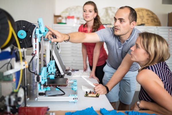
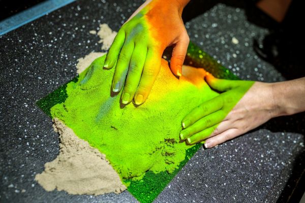
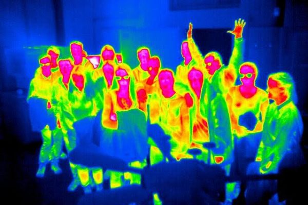
Class photography in the thermal spectrum - Equipment demonstration – 3D printing laboratory (professional 3D printers, sandbox, professional drone, sandbox-sandbox, VR glasses, 3D projector, …) – approx. 15 min
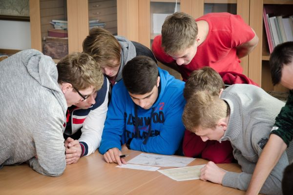
- Action in the field with GPS technology – approx. 20 min
- If you are interested, you can arrange entry to the Fortress of Knowledge – Living Water section (free) or the entire museum (CZK 85/person)
