Summary
The bachelor thesis “GIS simulation of erosion influence
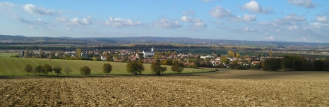
by rainstorms“ tries to resolve problem with soil erosion in small
water basin near Smržice in Prostějov region. The aim is to create
potential maps of soil erosion and design the solution with using soil
protection from erosion. I describe the creation of erosion process,
its influence and ways how to protect surface against the erosion. In
thesis is explained using of USLE erosion model and its aplication to
the water basin.
The process of modelling was created by ArcView 3.3 with use of 3D
Analyst and Spatial Analyst extensions. The map outputs show four
possibilities of erosion acording to the vegetation cover.
I compared the results with and without soil
protection from erosion of the thesis at the end. The critical and
strong measure of erosion was reduced to medium and small. I disprove
other possibilities to solve this problem.
The web site was created about the bachelor thesis and it’s located at
Department of Geoinformartic server.