National parks are frequently the top destinations
for nature-based tourism
because they showcase the most representative ecosystems within a country and
provide a variety of benefits to individuals and communities, including physical
and mental well-being, raising awareness about natural areas, and connecting
with nature (Barros et al., 2019). In exchange, an increased number of visitors
draws attention to the park, which can benefit local economies by creating jobs
and helping to conserve the environment and wildlife species in the park
(Mangachena et al., 2023).
Social media is becoming acknowledged as a significant source of information
regarding a wide range of issues, including nature-based tourism, because of its
high temporal and spatial resolution (Teles da Mota & Pickering, 2020). Social
media platforms are frequently used to share real-time geolocated data
associated with images, text, and routes, reflecting the growing use of social
media apps and smartphones (Bergman et al., 2022). The user-generated content
from social media provides new alternatives for assessing tourism and recreation
in national parks by analyzing visitor inflow and their sentiments, assigning
economic values, and helping park management monitor tourist mobility (Teles da
Mota & Pickering, 2020). Such data is also useful in developing strategies to
reduce wildlife stress by analyzing visitor hotspot areas (Mangachena et al.,
2023).
Spatial information is a core component of geotagged data; for example,
understanding where wildlife species are located and in which environments. This
type of data must be condensed and presented in an understandable and visually
appealing manner so it can highlight unseen facts and allow the user to interact
with what they are viewing. Researchers primarily used social media platforms
such as Flickr, Panoramio (now integrated into Google), and Instagram to obtain
geotagged data to access nature-based tourism (Teles da Mota & Pickering, 2020).
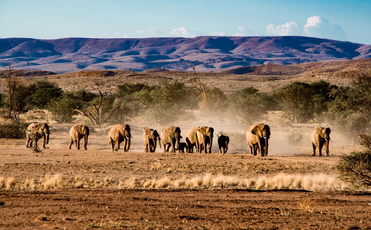
With a great diversity of wildlife species, including attractive mammals like
elephants, lions, giraffes, and zebras, Etosha National Park considered one of
the largest wildlife sanctuaries in the world (de Beer et al., 2006; Kimaro et
al., 2015). This research aims to create cartographically designed maps for
three different target groups, including younger people, the public, and expert
people, that visualize different wildlife species that could potentially be seen
at different waterholes, topographical features, and amenities of the Etosha
National Park. The geotagged information for wildlife species will be collected
from Flickr, Google Earth, and tourist company websites like Expert Africa.
These maps will also be user-tested to gain feedback and evaluate the
effectiveness of cartographic design in communicating wildlife information.
Additionally, these cartographic maps will also be hosted on the web so that
everyone can access them through the internet and interact dynamically with the
wildlife information and different thematic features of Etosha National Park.
The result of this research can act as a guide for tourists who are planning to
visit Etosha National Park and gain information about the existence of wildlife
species at different waterholes in the park.
