SUMMARY
This diploma thesis, called “Modeling of Surface Runoff in the ArcGIS Server,” was done under the auspices of the Department of Geoinformatics of Palacky University in Olomouc.
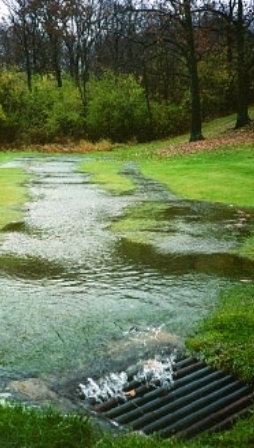
The aim of the diploma thesis was to create a complex model for computation a surface runoff as an ArcGIS geoprocessing tool. The tool is available in two forms on the ArcGIS Server of the Department of Geoinformatics. The first method is a Geoprocessing Service ArcToolbox. Users can access this toolbox for analysis on their own datasets. The second method is a web application, where tools are available as separate tasks over model data.
The theoretical part of this thesis deals with hydrological processes in the nature, it describes hydrological modeling and questions of geoinformatics web applications and GIS (Geographical Information System) Servers. Furthermore it delineates two methods used for a calculation of runoff (unit hydrograph, CN-number method); and procedures of model creation.
The practical part involves a transformation of selected methods into a distributed hydrological model as an ArcGIS geoprocessing tool. It was built using a Python programming language and tested in ArcGIS Desktop environment on model data from the Všeminka basin. The ArcToolbox called “Surface_Runoff” was published to ArcGIS Server afterwards. From there it is accessible in two forms, as a web application over a model data (web address: http:// ?????) and as a Geoprocessing Service, which can be utilized on every river basin in the Czech Republic. The output of all individual tools is a Raster Dataset in GRID format, where a resultant value relates to every pixel in the layer.
How the model of surface runoff works, and the process of model creation, are documented by a poster.
Web Application

Web Application on ArcGIS Server
On-line access to tools to calculate the surface runoff over the model data.
Enter Application
